
Ray's Radio Provides Wide-Area Radio Solutions
in Modesto and the San Joaquin Valley
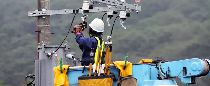
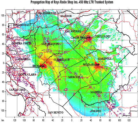
Ray’s Radio has 800 MHz and 450 MHz trunking systems on Mt. Elizabeth, Cedar Ridge, Mt. Oso and Mt. Bullion covering the Central Valley from Sacramento to Fresno.
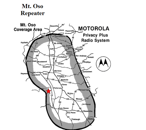
Mt. Oso Map:
Latitude: 37-30-31 N
Longitude: 121-22-26 W
Elevation: 3356 ft.
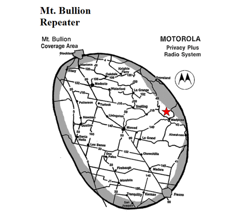
Mt. Bullion Map:
Latitude: 37-33-20 N
Longitude: 120-03-34 W
Elevation: 4050 ft.
Backup Power
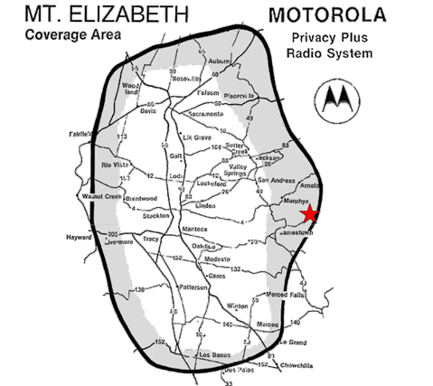
Mt. Elizabeth Map:
Latitude: 38-03-20 N
Longitude: 120-14-25 W
Elevation AMSL: 1505 m.
Backup Power
City Tower:
Latitude: 37-38-19 N.
Longitude:120-59-52 W.
Elevation: 88 feet
Oakdale Site:
Latitude: 37-45-12 N.
Longitude: 120-51-06 W.
Elevation: 211 feet
Turlock Site:
Latitude:
Longitude:
Elevation: 100 feet
San Joaquin Site:
Latitude:
Longitude:
Elevation:
Contact us for more information on our airtime solutions